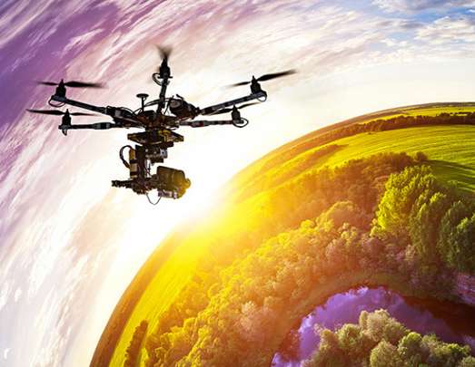
About us ?
Phytodrone company had been founded by Benoit Filliatre (Agronomic engineer – Computer scientist – Geomatician) in January 2017. Company is based in Paris District but acts in surrounding region and in France or abroad as well.
Acting Domains
Services
Remote sensing and data processing in following scopes
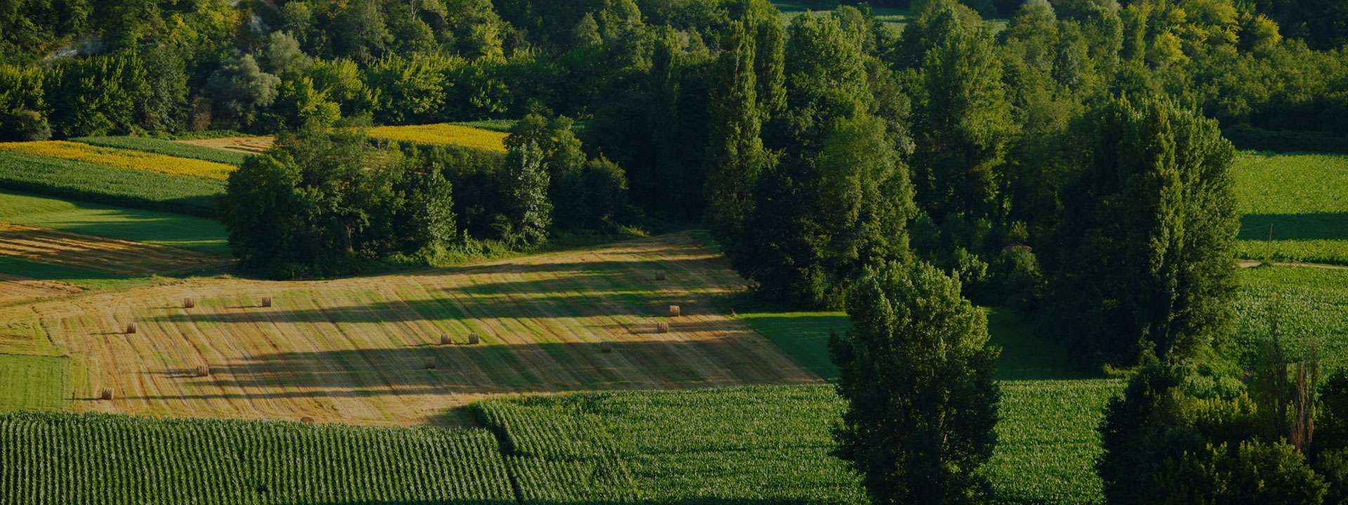
Forestry – Environment
Forêts :
Vegetal Indexes : chlorophyll sensing, sick trees.
Height measurement of Canopy or Isolated trees
Environment :
Foreshores follow up, seaweeds population measurement
Vegetal population follow-up on industrial or waste sites …
Autres
Stone Pits (Volume calculation and situation reports),
Insurances (Wildfowl damages or Sinisters estimation …) …
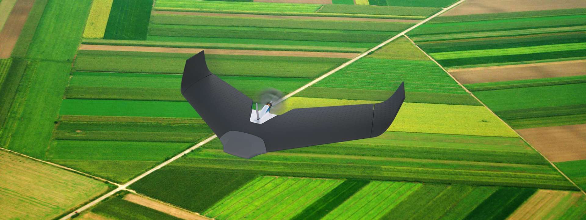
Équipements
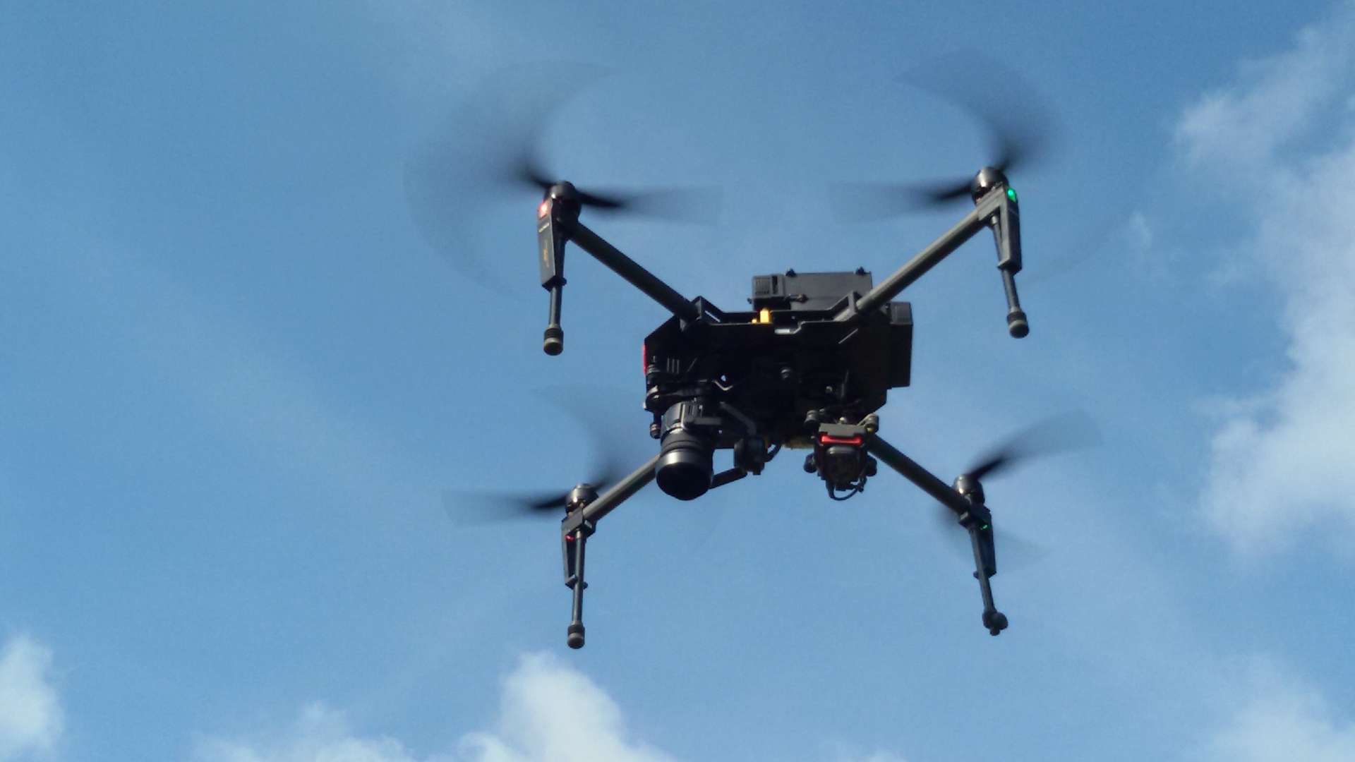
We own 3 UAV multi-rotors models : DJI Inspire 2 with Micasanse Altum sensor (Thermal and Multispectral), one Mavic 3M RTK (RGB and Multispectral) and Phantom 4 Pro V2 (DJI) with RGB and Micsanse MX multipectral sensor.
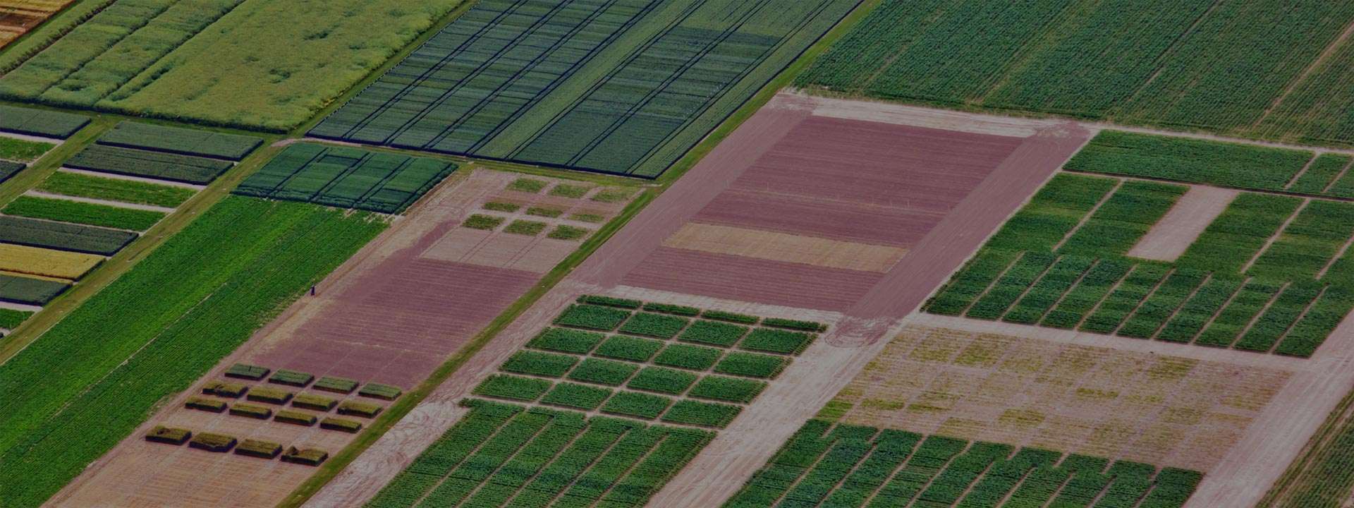
Methods and solutions
Purpose is to develop precision agriculture and in a more global way UAVs usage for remote sensing, this includes data processing (photogrammetry) to release agronomic indexes maps or orthomosaics (orthophotos) in scope of agriculture (crops, vineyards, orchards, vegetables…) or in other scopes (stones pits, environment, insurances…).