Methods and solutions
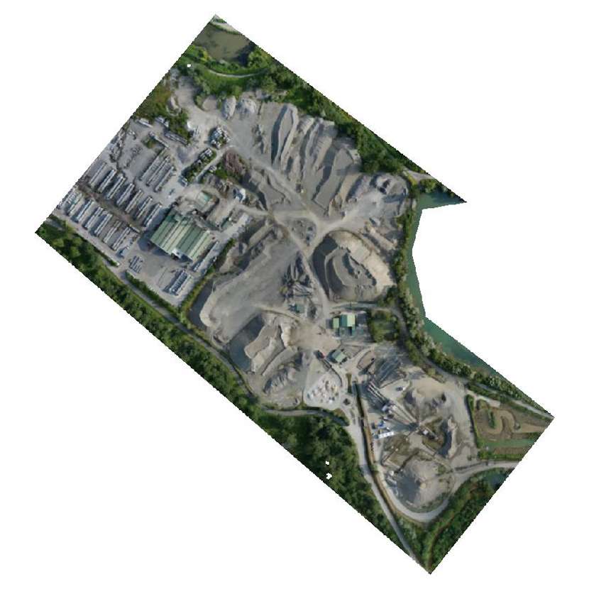
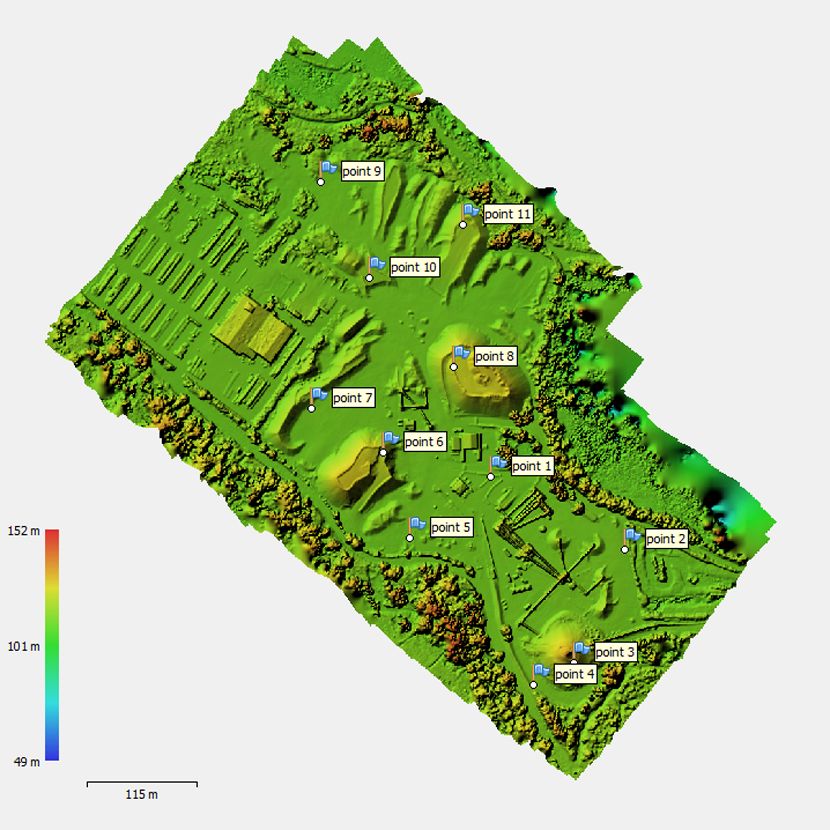
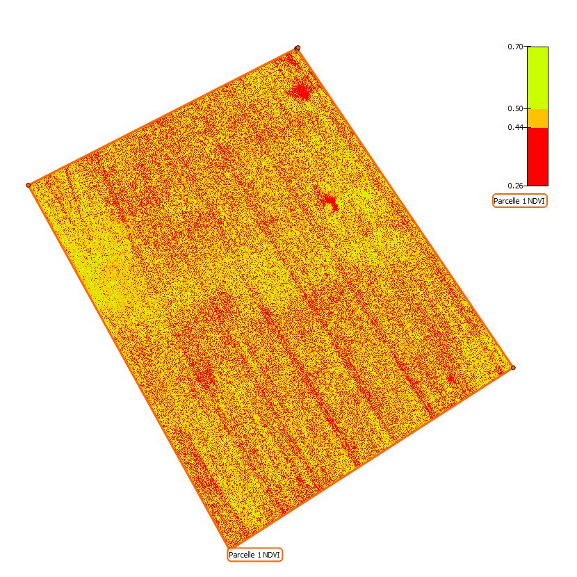
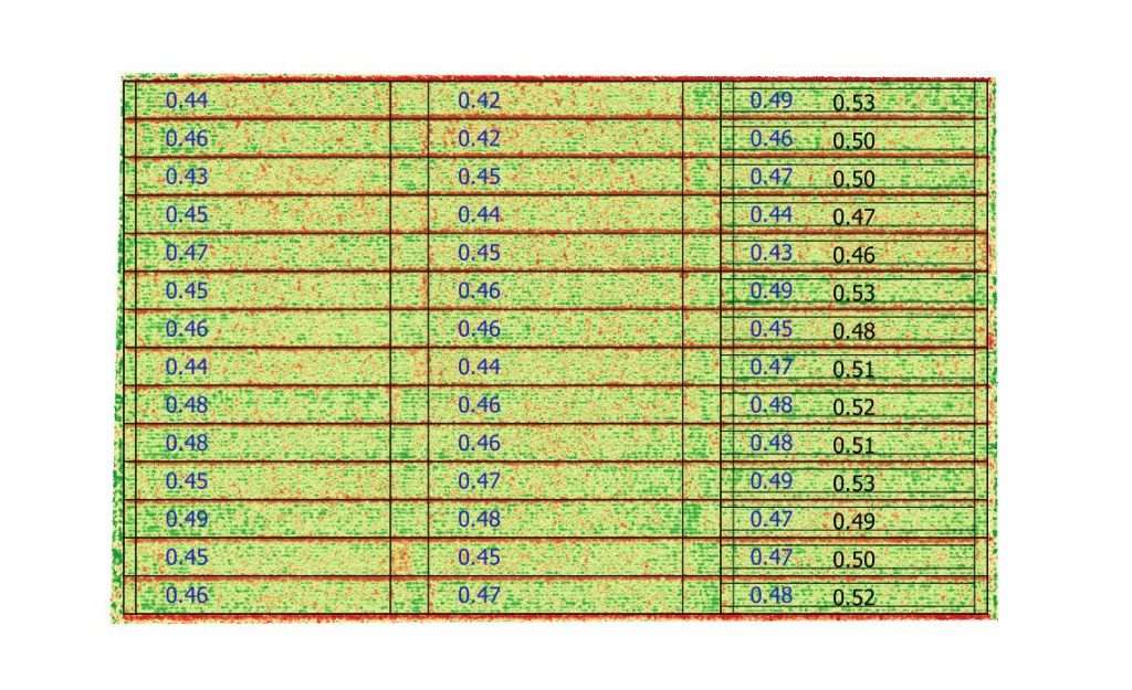
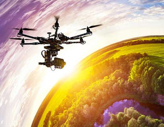
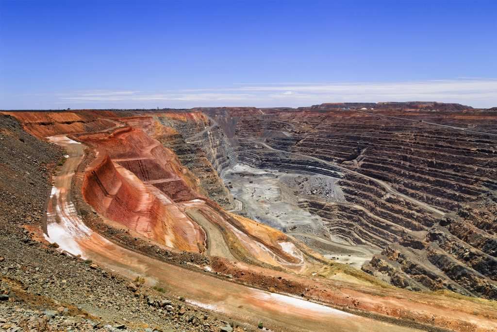
Purpose is to extend the usage of precision agriculture mainly in scope of phenotyping in experimentation (in fields trials) and in a more global way usage of UAVs in remote-sensing industry. This includes data processing (photogrammetry) to release phenotyping traits (counting, cover , GLAI), vegetal indexes maps or orthomosaïcs (orthophotos) in agriculture (crops, orchards, vineyards, vegetables…) or in some other domains (environment, stones pits, insurance …).
We manage all steps of global process
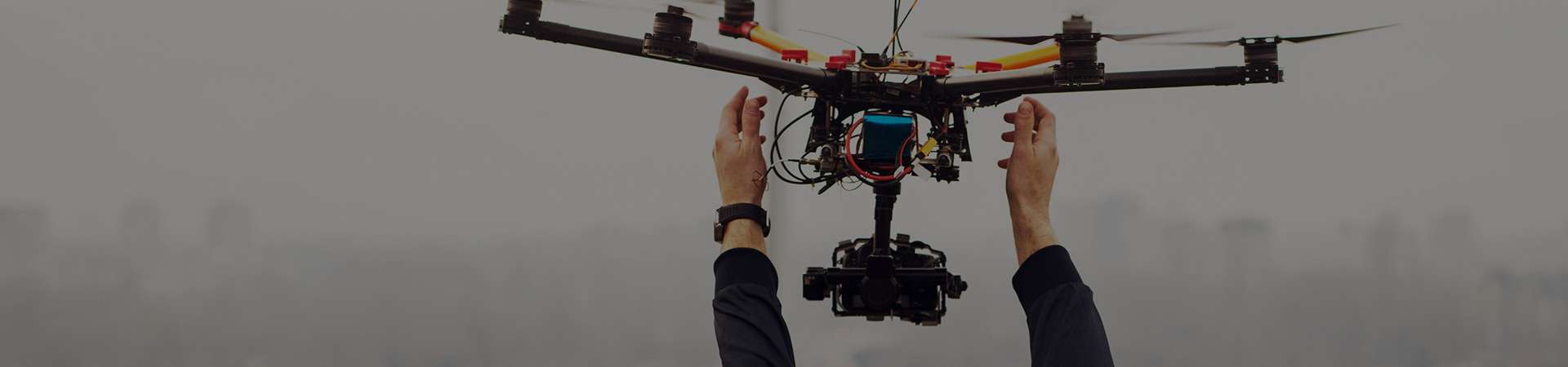
- Flights : with multirotors or fixed wing UAVs
- Sensing and Measurement : multispectral or RGB sensors
- Data Processing : with Photoscan, Pix4D, IA software, GISs …
- Deliverables : Vegetal Indexes Maps, Othomosaics (at micro-plot level in case of agronomic trials) – Cloud files….