About us
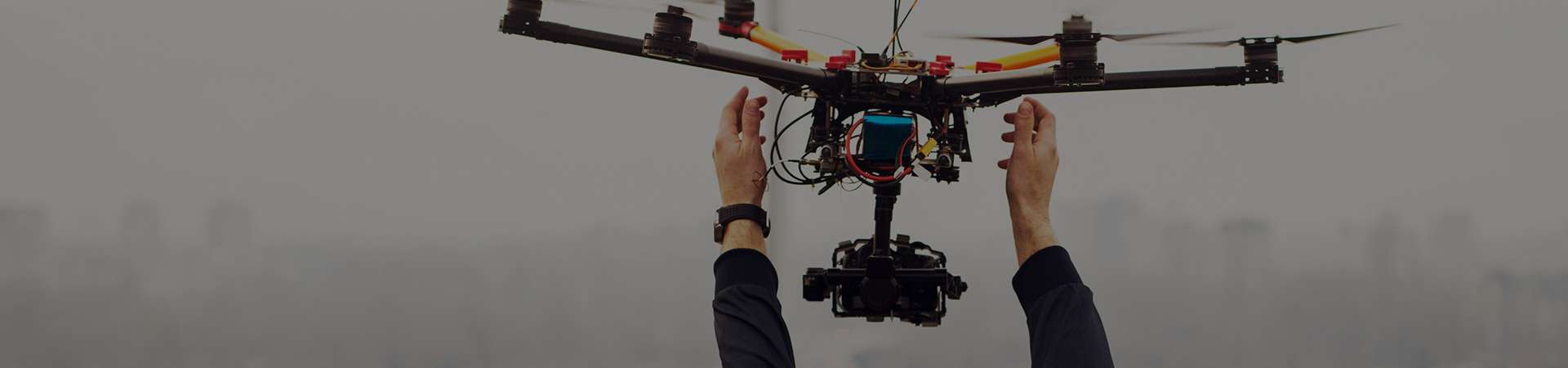
Usage of UAVs for remote sensing allows us to get very accurate surveys and so to extend scope of precision agriculture.
Data Processing : Phenotyping
Very high quantity of collected information during UAV operations lead to agriculture indexes maps, counting and cover (leaves and flowers) and others phenotyping reports.
Photogrammetry
Photogrammetry is a technic which consists in doing measurements in scope of in field agronomy trials, agricultural lands or various landscapes, by using parallax between images and different angles of view (to compare to human stereoscopic vision). As of now this method uses more and more correlation calculations between numeric images (files).
150
meters above ground to get very accurate aerial images